US maps your team can actually edit
Every state, county and congressional district is a native vector shape — not a picture. Ungroup it, recolour it, drop in your own numbers. No plugins, no add-ins, nothing to install.
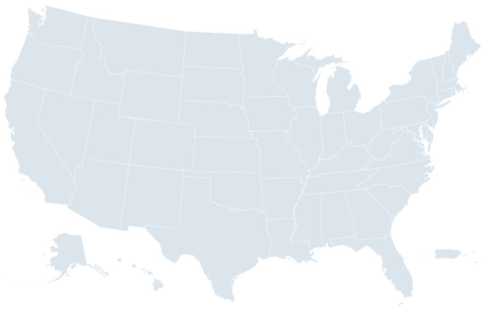
Maps, not screenshots of maps
A JPEG of the United States is useless the moment your data changes. These are real shapes with real names, so changing a colour is a two-second job.
Native vector shapes
Each unit is an ordinary PowerPoint autoshape. Recolour it, outline it, resize it, or drive it from your data. It stays sharp at any projector resolution and prints cleanly.
Named after the geography
Open the Selection Pane and you see California, Cook County, District 7 — not Freeform 138. Every shape also carries its official Census GEOID for joining data.
Official boundaries
Built from the Census Bureau's 2025 Cartographic Boundary Files, in the Albers equal-area conic projection, so areas compare honestly and Alaska is not stretched out of proportion.
National, then every state, then below
Start at whatever level the question is being asked at. All 103 templates use the same eight-slide structure, so once you have learned one you have learned them all.
50 states + D.C. + 2 territories
states with 2+ districts
County maps cover all 50 states, the District of Columbia and the two populated territories — Puerto Rico and the U.S. Virgin Islands. American Samoa, Guam and the Northern Mariana Islands are excluded: at any legible scale they are indistinguishable dots.
 $19.99
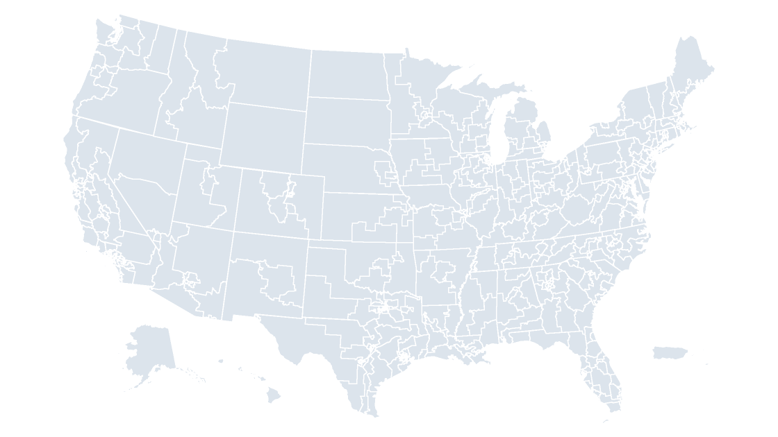
United States Congressional Districts
All 441 districts of the 119th Congress, ready for election night, advocacy and public-affairs decks.
 $19.99
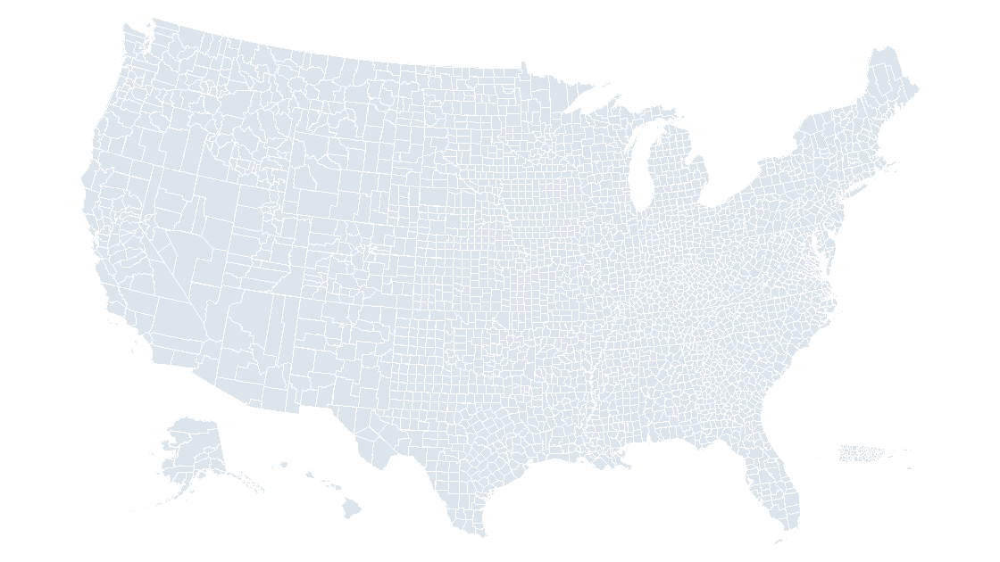
United States Counties
All 3,235 counties and county equivalents — the finest level at which US economic and demographic data is published.
 $19.99
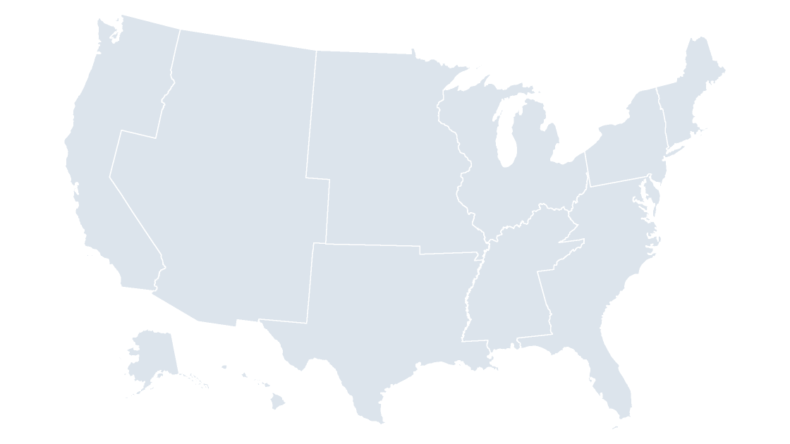
United States Census Divisions
The nine divisions beneath the four regions — the level most federal statistics are actually published at.
 $19.99
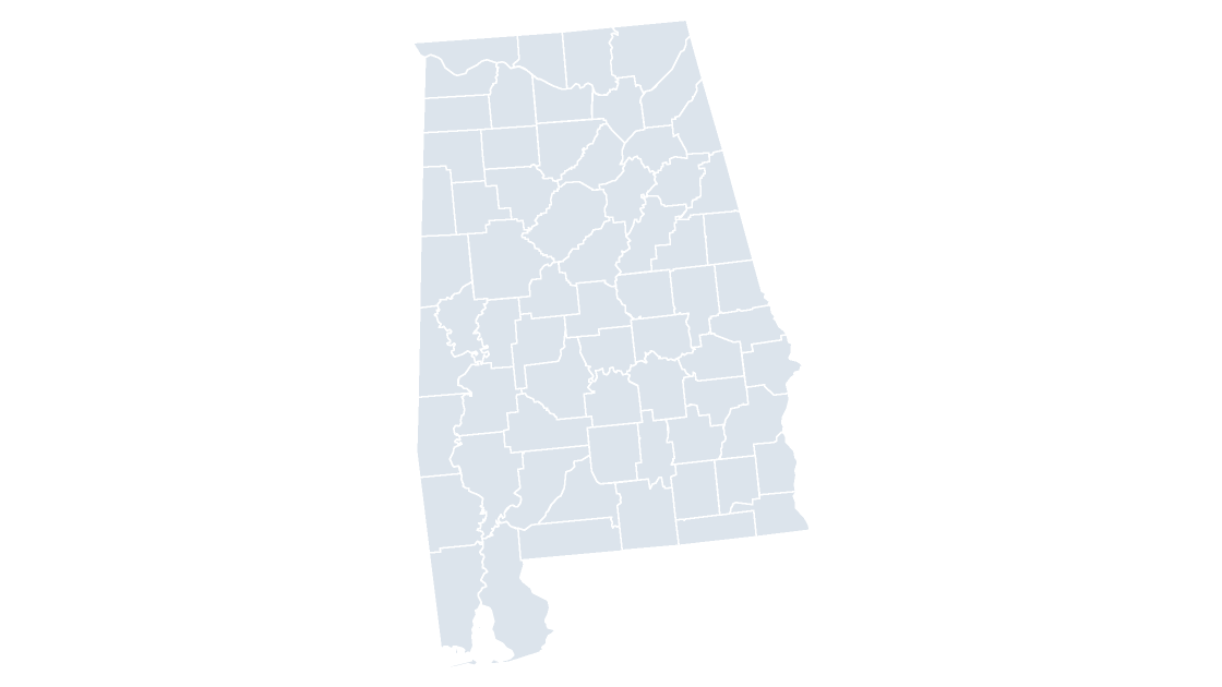
Alabama Counties
All 67 counties in Alabama, each one its own editable shape with its state outline for context.
 $19.99
Alaska Counties
All 30 counties in Alaska, each one its own editable shape with its state outline for context.
 $19.99
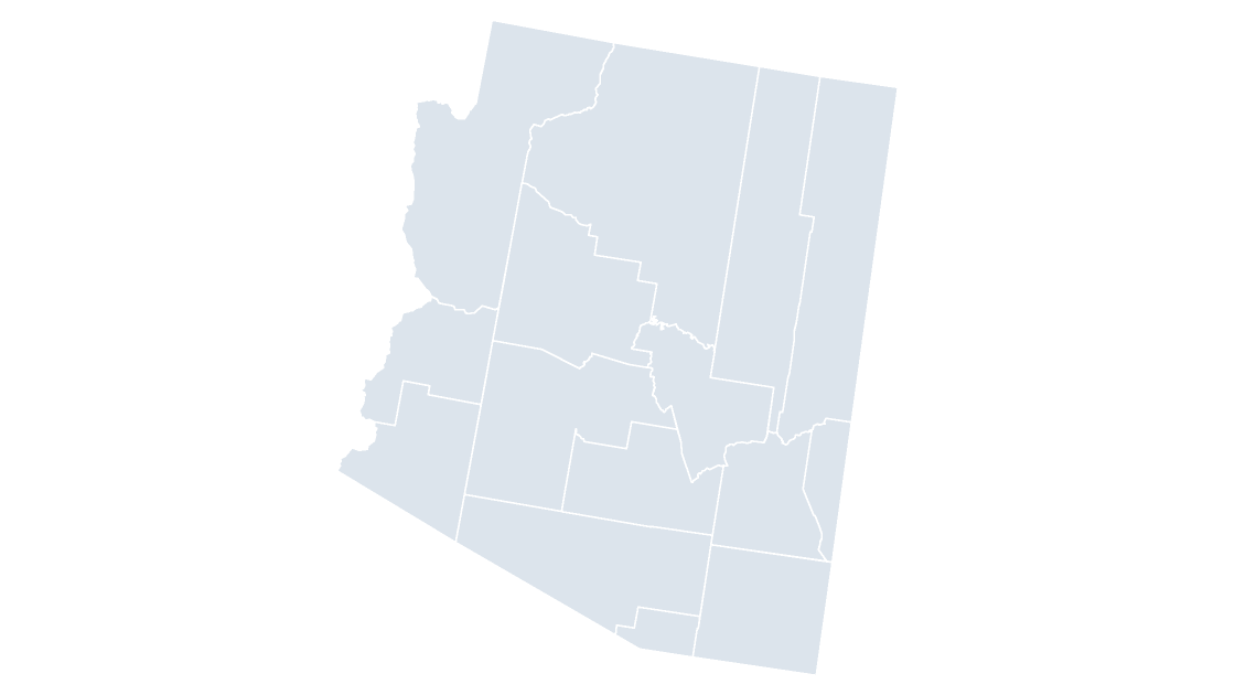
Arizona Counties
All 15 counties in Arizona, each one its own editable shape with its state outline for context.
Jump straight to a state or territory
51 state and district-level maps, plus 2 territory maps. Click through to preview and download.
The 50 states and the District of Columbia each have a county map, and every state with two or more congressional districts has a district map. Puerto Rico and the U.S. Virgin Islands are mapped as territories.
Eight slides, ready to rearrange
Each deck carries the same eight layouts so you can pick the one that fits the room and delete the rest.
Cover
Title, subtitle and a light map watermark. Swap the copy and it is your cover.
How to edit
Three steps for whoever inherits the file, including the Keynote note.
Clean map
One flat colour. The working surface for a territory or footprint slide.
Reference map
Labelled with abbreviations, names or district numbers.
Data map
A five-step sequential ramp with a legend, shaded with real land-area figures.
Spotlight
Everything muted except the handful of units you want the room looking at.
Data hand-off
A table of GEOIDs and values matching the shapes, ready to paste over.
Source & licence
The provenance slide, in case someone in legal asks.
Three palettes, one per room
Each theme is a full colour system — slide background, type, hairlines and a five-step data ramp that stays legible in print.
Slate
Cool corporate navy. The default for strategy, market and board decks.
Editorial
Warm paper and rust. Reads like research, policy or investor writing.
Mono
Swiss minimalism. Near-monochrome with a single blue signal.
Three steps, no training required
Download and open
Pick a geography and a theme. The file opens in PowerPoint or Keynote with no missing fonts and no repair prompts.
Ungroup the map
Right-click the map and choose Ungroup. You now have one editable shape per state, county or district.
Colour and label
Set fills from the theme swatches, or link values by GEOID and build a choropleth. Regroup when you are done.
Before you download
Will this really open in Keynote?
Do I need to install anything?
Which boundary release is this?
Can I use these commercially?
What does it cost, and can I get a refund?
Do I need to create an account?
Why are Alaska and Hawaii in boxes?
Are the Pacific territories included?
Can I get a geography I don't see?
Start with the map you need
103 editable map templates, three themes each. $19.99 per template, instant download, yours to keep.