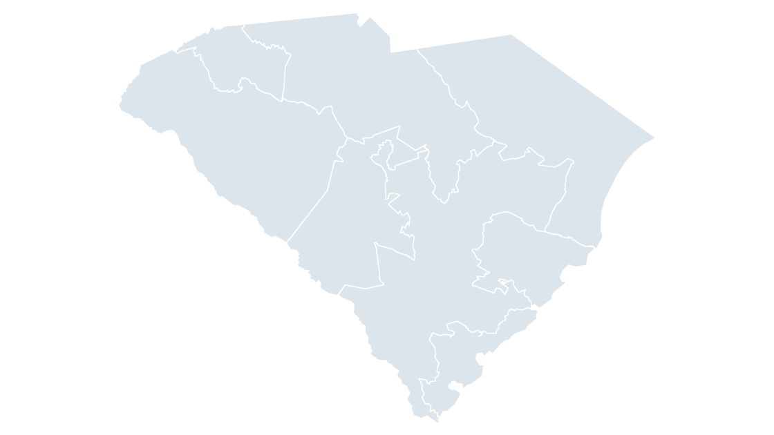
Preview shows the map slide in Editorial, Mono, Slate. Every deck also contains cover, labelled, data, spotlight, table and source slides.
South Carolina Counties
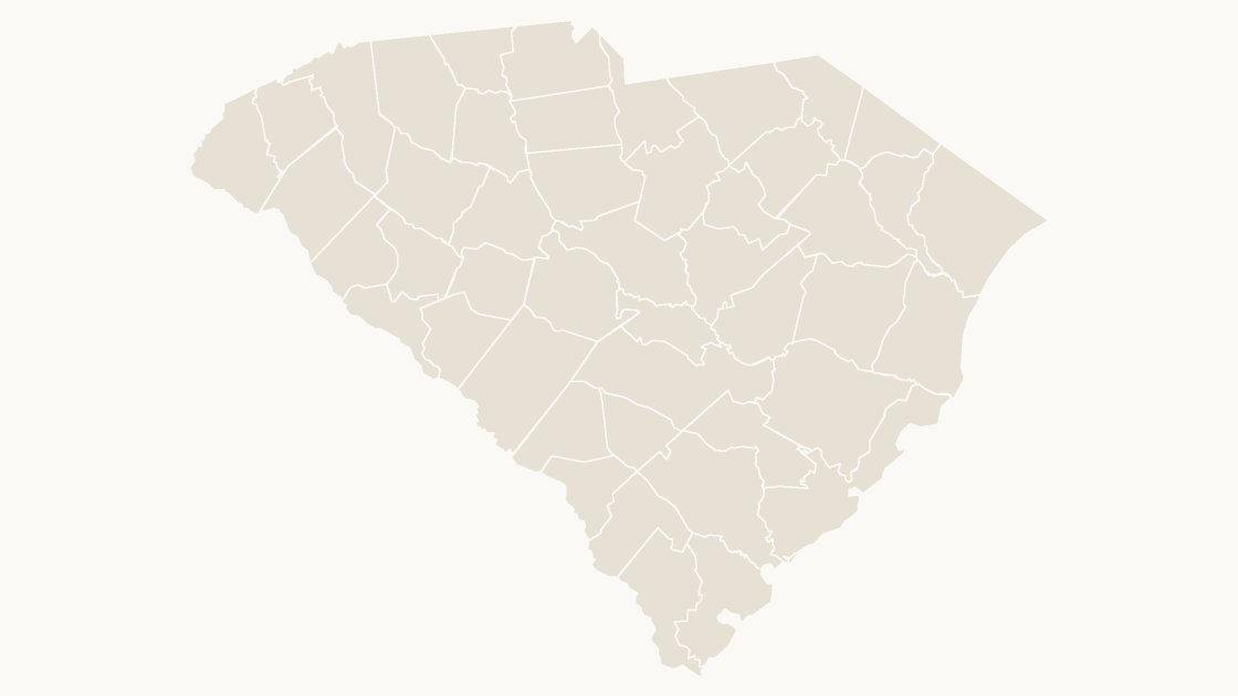
All 46 counties in South Carolina, each one its own editable shape with its state outline for context.
One-time purchase · 3 .pptx files, every theme included · 14-day refunds, no questions asked · Terms and Privacy
46 counties across South Carolina, each one a separate editable shape. Cities, metros and rural districts sit side by side, which is why a county map is usually the honest view of a state rather than a state-level total.
Typical use: Territory design inside South Carolina, regional comparisons, local detail.
| Price | $19.99 — one-time, no subscription |
|---|---|
| Format | PowerPoint .pptx — opens natively in Keynote |
| File size | 103 KB |
| Boundary source | U.S. Census Bureau, 2025 Cartographic Boundary Files |
| Projection | Albers equal-area conic, with insets for Alaska, Hawaii and Puerto Rico |
| Coordinates | WGS84 longitude / latitude |
| Licence | Commercial use permitted; resale of the files is not |
| Refunds | Full refund within 14 days if not downloaded, or if the file is defective — see the refund policy |