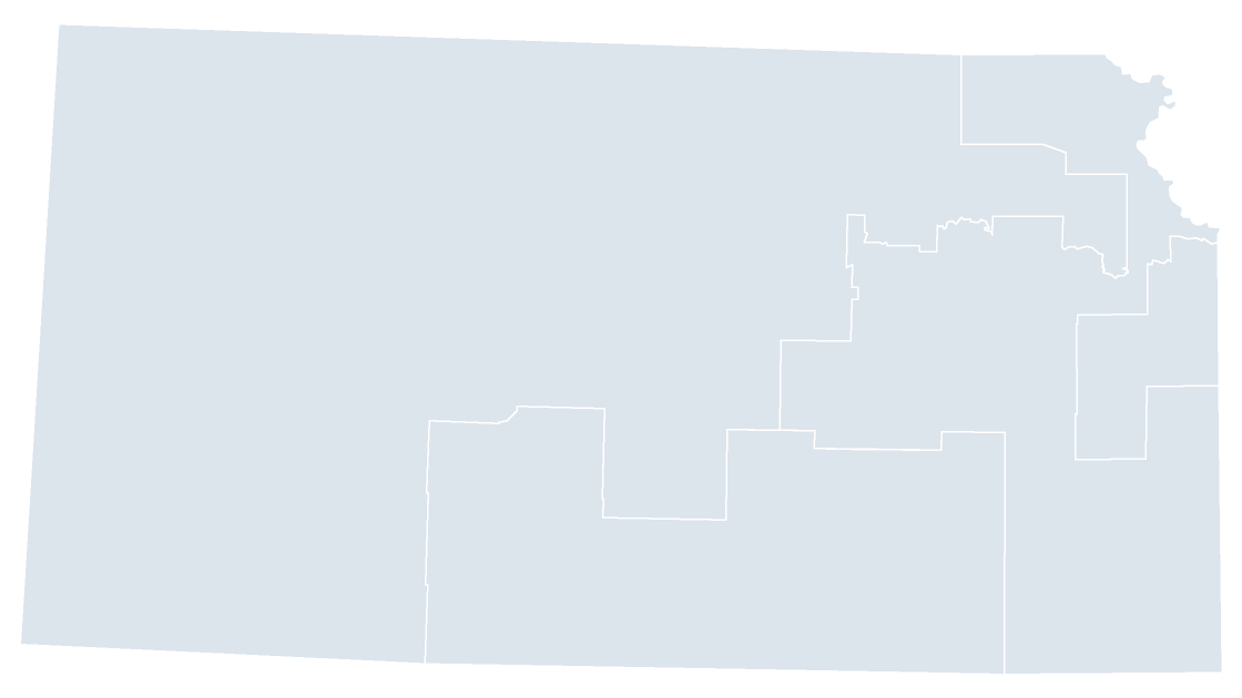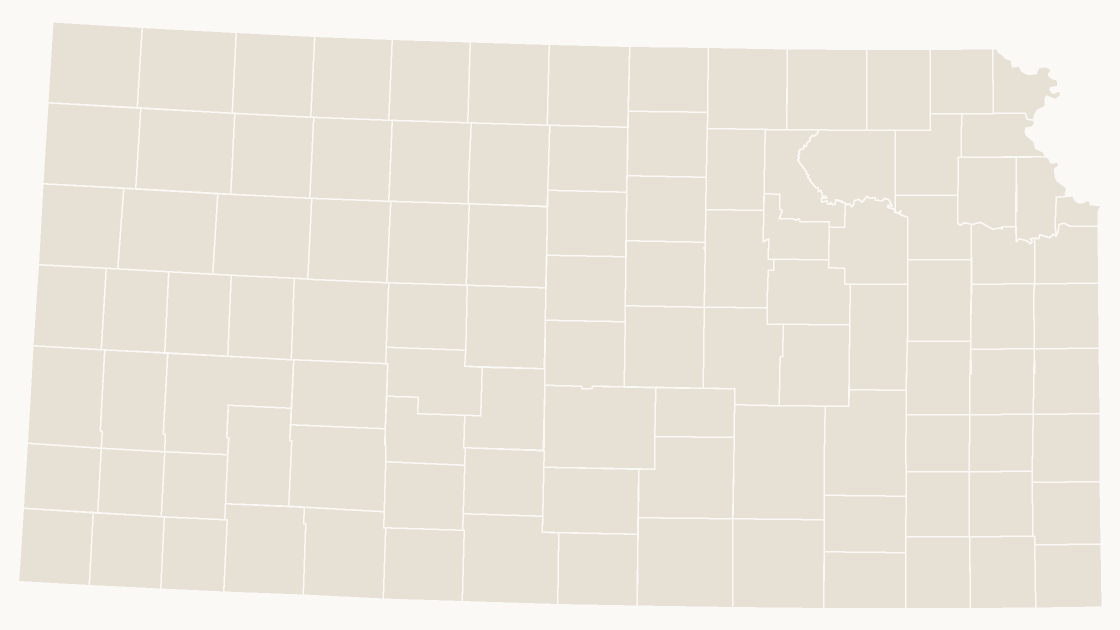
Preview shows the map slide in Editorial, Mono, Slate. Every deck also contains cover, labelled, data, spotlight, table and source slides.
$19.99 · all three themes
State counties
Kansas Counties
All 105 counties in Kansas, each one its own editable shape with its state outline for context.
One-time purchase · 3 .pptx files, every theme included · 14-day refunds, no questions asked · Terms and Privacy
105 countiesGeography
105Editable shapes
8Slides
3Themes
About this template
105 counties across Kansas, each one a separate editable shape. Cities, metros and rural districts sit side by side, which is why a county map is usually the honest view of a state rather than a state-level total.
Typical use: Territory design inside Kansas, regional comparisons, local detail.
Specification
| Price | $19.99 — one-time, no subscription |
|---|---|
| Format | PowerPoint .pptx — opens natively in Keynote |
| File size | 74 KB |
| Boundary source | U.S. Census Bureau, 2025 Cartographic Boundary Files |
| Projection | Albers equal-area conic, with insets for Alaska, Hawaii and Puerto Rico |
| Coordinates | WGS84 longitude / latitude |
| Licence | Commercial use permitted; resale of the files is not |
| Refunds | Full refund within 14 days if not downloaded, or if the file is defective — see the refund policy |